One of the most geologically intriguing features of the Colorado Plateau is its remarkable stability. Relatively little rock deformation such as faulting and folding has affected this 337.000 km^2 plateau when it was uplifted 3 km into the air, 75 to 15 millions years ago.
At the staircase edges of the plateau and where rivers have cut in deep, the 2000 million years of deposit layers are exposed and the greatest concentration of national parks in the USA are established to see them all.
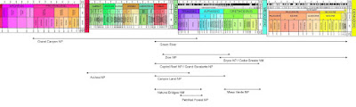
When floating down the Green river a couple weeks ago, I cut down through about 25 of the upper layers, deposited between 100 and 300 million years ago. 40 of the lower layers, deposited between 200 and 2000 million years ago, I saw when descending into the Grand Canyon last year. Now, by touring around the Colorado Plateau in my own Tour de Colorado Plateau, I focus on almost each layer individual. The question is just how to avoid all the other tourists. A couple emails help out.
Bryce NP (18 layers, 60-175 Mya)
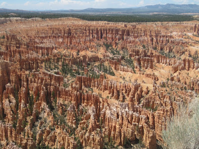
Known for its giant natural amphitheater filled with hoodoos, formed by wind, water and ice erosion of the river and lake bed sedimentary rocks.

When rain combines with carbon dioxide forms a solution of carbonic acid the relatively soft limestone erodes easily away. It is this process of chemical weathering that rounds the edges of hoodoos and gives them their lumpy and bulging profiles. In the winter, melting snow seeps into cracks and joints and freezes at night. Over 200 of these freeze/thaw cycles occur each year in Bryce Canyon. Forming windows and hoodoos.
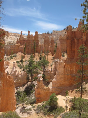
And thats beautiful from above and from below when I take a hike on the with only 1% of the actual amount but still a lot of tourist filled trails.
 The email says:
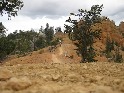
 Go to Thundermountain, just outside of the park and ride the trail on your mountainbike.

With no suspension, helmet, gloves, stubby tires or much experience, its hard, scary but very rewarding and deserted.
 Cedar Break NM (18 layers, 60-175 Mya)
The nearby Cedar Break is more of the same.
 Zion NP (28 layers, 175-250 Mya)
One step down or back in time, depending how you look at it, is the Zion Canyon. Cut away by the North Fork of the Virgin River and very touristy. I take my bike and ride the road to the end. As before, somehow this park doesn’t cut it for me.
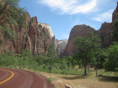 The email says:
 The northern part of the park, the Kolob canyons is more attractive and way less touristy.
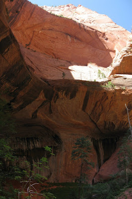
I take a nice stroll to a double arch, with only a few other tourists around.
 Capitol Reef NP(26 layers, 60-270 Mya)
In Capitol Reef NP the layers folded over each other in an S-shape, instead of the perfect horizontal arrangement I have seen so far. The warp in the earth's crust that is 65 million years old and created the Waterpocker Fold, also created the Rocky Mountains. It has weathered and eroded over millennia to expose layers of rock and fossils.
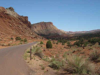
I take the partly dirt Burr trail, which cuts straight through Long Canyon in the Grand Staircase-Escalante NM, before entering Capitol Reef NP.
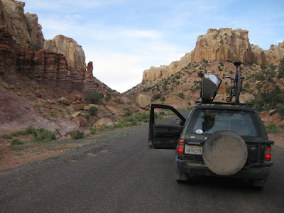
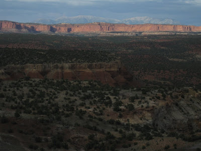
When it pops out the views are until far and beyond and makes a very good camping spot.
 The email says:
 Lower Muley Twist, I have heard its good.
I climb over the Waterpocker Fold and descend into the Lower Muley Twist Canyon.
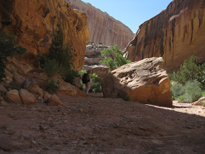
Its hot and I take breaks in the shade.
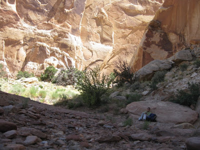
I don't see another person though and enjoy the canyon walls rising high above me.
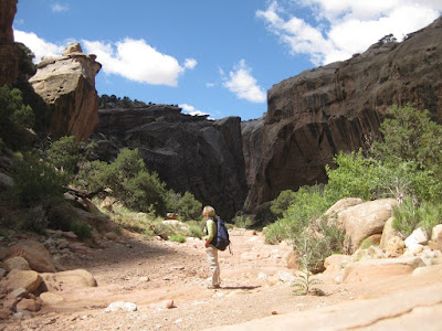
To get back to the other side of the Waterpocket Fold I don't have to climb it, but Muley Twist my way trough it.

Its a long hole back to Oto to complete the 15 mile loop. Bugs and heat are my part.

No complains though with a landscape like this around.
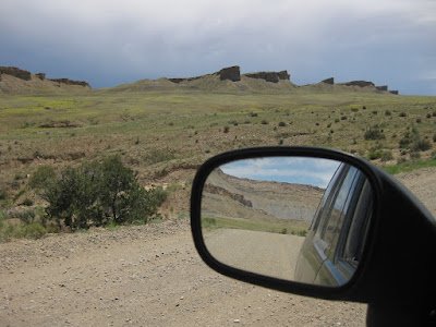 Natural Bridges NM (15 layers, 200-286 Mya)
After the Burr trail I cross Lake Powell by ferry and head south. And deeper it goes.
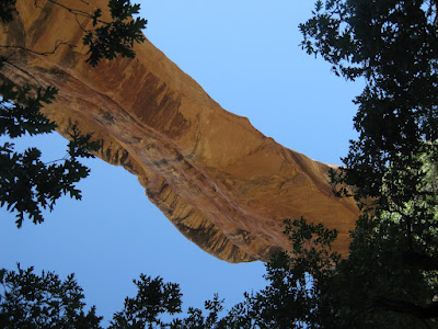
When the long winding curves of the Kachina and Sipapu rivers almost circle back on itself, they can create thin rock walls between the loops. As the river keeps undercutting the thing walls, a natural bridge is born over time. The park features 3 large bridges and I check Sipapu out from the bottom.
 The email says:
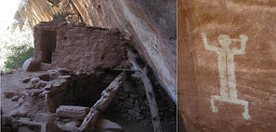
 Where all the tourist go left, go right, up stream, there are some ancestral Puebloan cliff dwellings.
 Valley of the Gods (228-286 Mya)
Valley of the Gods is the next area on the tour. This is the cheap mens Monument Valley, but nothing wrong with.
 Hovenweep NM
The next 2 parks I visit are focusing more on the inhabitants then geology.
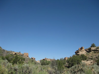
Between AD 1150 and AD 1200, the Hovenweep inhabitants began building large pueblos around fortress-like towers at the heads of box canyons. The people built check dams and reservoirs and moved their fields into areas where water could be controlled. They also built large stone towers, living quarters and other shelters to safeguard springs and seeps. 6 village are conserved and I visit the most accessible one, Square Tower.
 Mesa Verde NP
The Anasazi, ancient Pueblo people, made stone villages and spectacular cliff dwellings their home in the 1200s AD. I visit Balcony House.
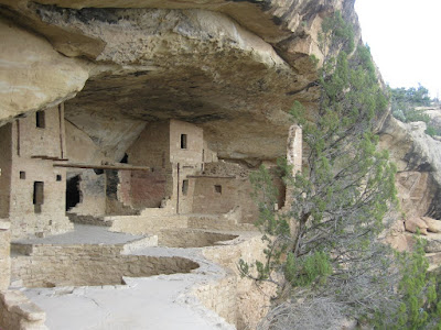
Cliff Palace I see from the road.

With the help of the emails, which let me escape the tourists in the more remote part of the parks (thanks), I learned a lot, saw a lot, experienced a lot. But enough with National Parks. Time to be tired, to get a pinched nerve, blisters on my heels, blood on my knuckles. Time to get my bud kicked in the outdoors of the Rocky Mountains.


 High dune with 198 meter of height is one of the tallest dunes and a good burley 1 step forward ½ a step slide down hike up. The sun is hot, the sand even hotter.
  When I run back down the slopes, sand is piling up in my shoes and burning my feet. Stopping is no option, while now I am sinking to my ankles in the hot sand. Did it take me an hr to hike up, 20 minutes is all it takes to bring me back to the Oto.


